Burr Trail Images
The Burr Trail connects Bullfrog and Boulder, passing through Glen Canyon National Recreation Area, Capitol Reef National Park, and Grand Staircase-Escalante National Monument.
Burr Trail is a 67-mile scenic drive between Boulder and Bullfrog into some of the state’s most beautiful and extraordinary country. You’ll see views of the Henry Mountains, the colorfully contorted Waterpocket Fold, red Circle Cliffs, and Long Canyon.
Along the way, the road passes through parts of Garfield County, Wayne County, and Kane County in Utah. When I know what county I took a photo in I will mark that county, otherwise it will be noted as Burr Trail.
If you want to drive this trail, click here.
I hope you enjoy my Burr Trail photos.
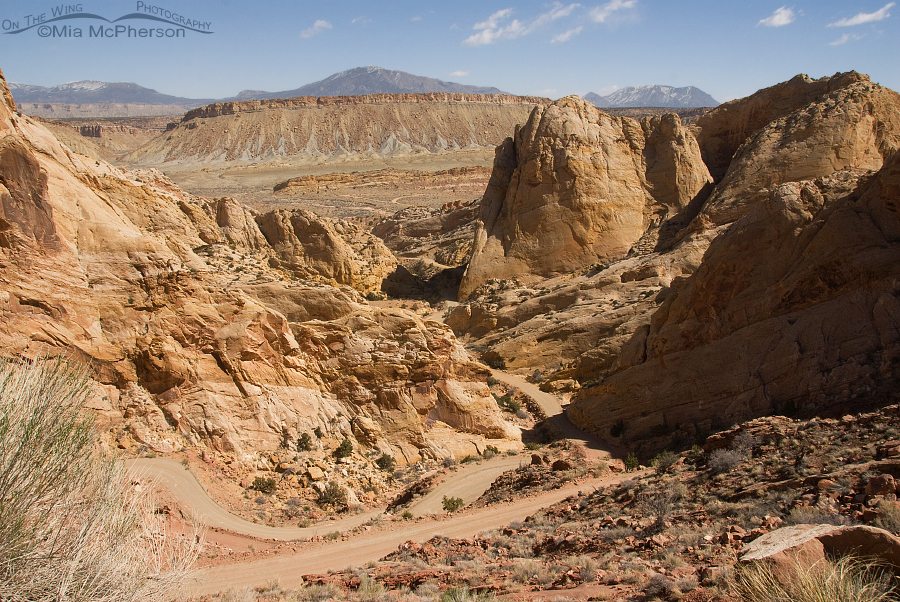
Looking down at Burr Trail
Title: Looking down at Burr Trail
Location: Wayne County or Garfield County, Utah
Date: 4/16/2010
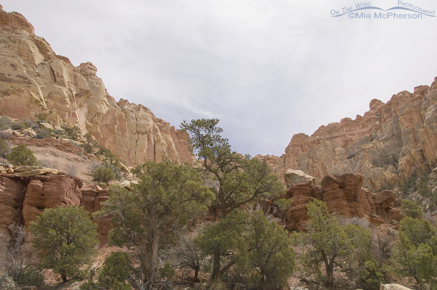
Thickening Clouds over Burr Trail
Title: Thickening Clouds over Burr Trail
Location: Wayne County or Garfield County, Utah
Date: 4/16/2010
View of Capitol Reef NP from Burr Trail
Title: View of Capitol Reef NP from Burr Trail
Location: Wayne County or Garfield County, Utah
Date: 4/16/2010


