Antelope Island State Park Images and Information:
- Antelope Island State Park was established in 1969
- The park is 28,800-acre in size. The Great Salt Lake surrounds the island and it is the largest island in the Great Salt Lake.
- The highest point on the island is Frary Peak at 6,589 feet
- Antelope Island State Park is well known for the American Bison that roam the island, the size of the herd varies from 500 to 750 depending on the time of the year. Bison in excess of 500 are culled during the Bison Round Up. Other large mammals on the island are pronghorn, badgers, coyotes, mule deer and bighorn sheep.
- Antelope Island has dry campsites.
- Birding on the island and the causeway to the island is world class. Be prepared to be wowed. Click here for a printable Antelope Island State Park bird checklist.
I hope you enjoy my landscape photos of Antelope Island State Park. You can find the birds and animals of the island in my galleries.
Map for Antelope Island State Park
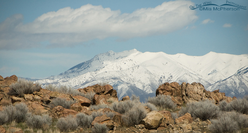
View of snow covered Wasatch Mountains from Frary Peak
Title: View of snow covered Wasatch Mountains from Frary Peak
Location: Antelope Island State Park, Davis County, Utah
Date: 3/31/2011
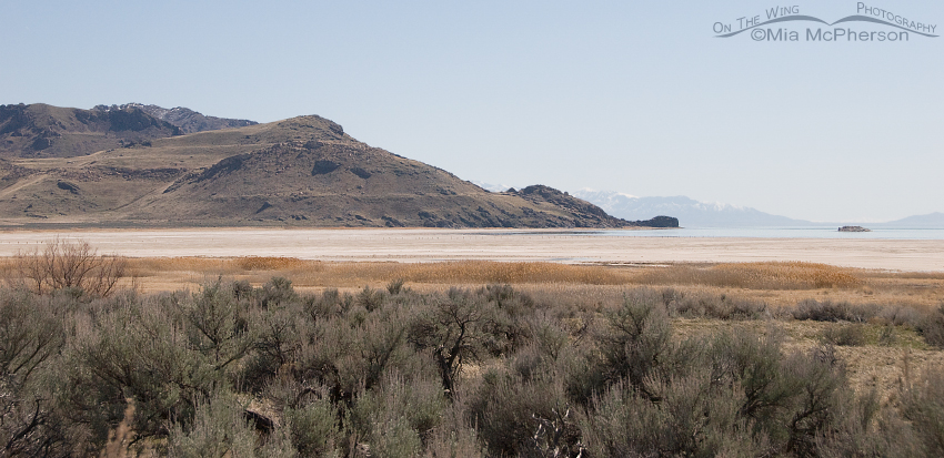
View of White Rock Bay on Antelope Island
Title: View of White Rock Bay on Antelope Island
Location: Antelope Island State Park, Davis County, Utah
Date: 3/31/2011
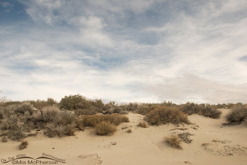
Oolitic sand dunes on Antelope Island
Title: Oolitic sand dunes on Antelope Island
Location: Antelope Island State Park, Davis County, Utah
Date: 3/30/2011
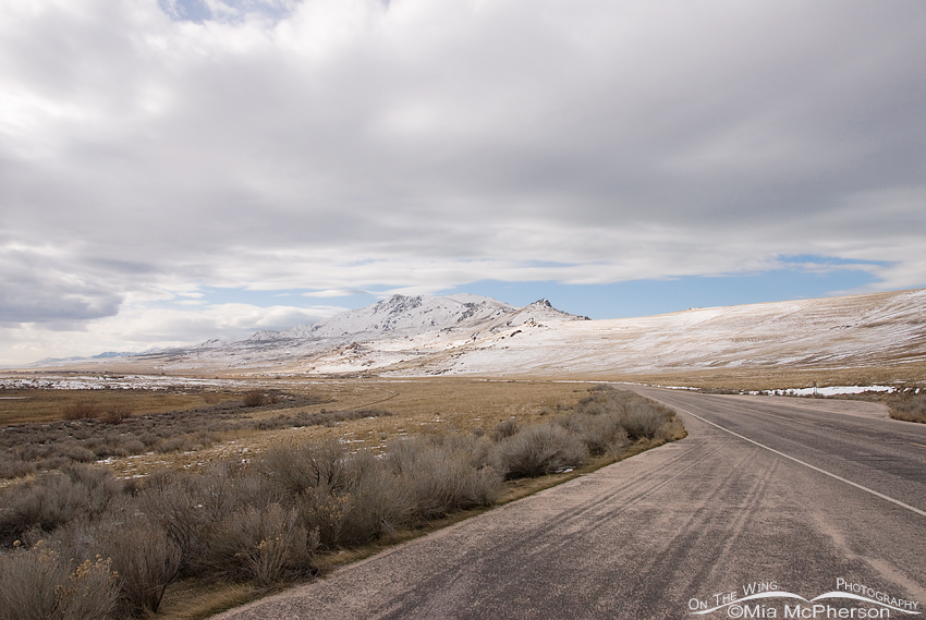
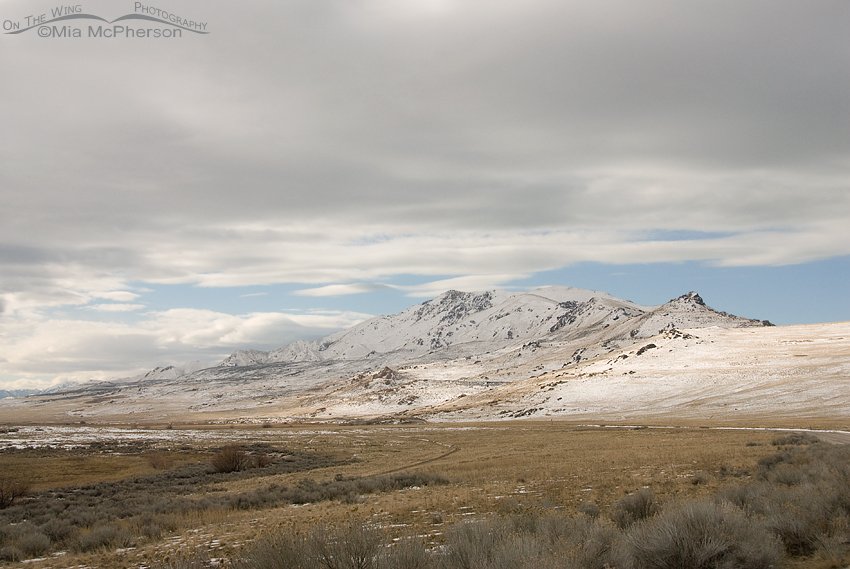
Winter view of Frary Peak
Title: Winter view of Frary Peak
Location: Antelope Island State Park, Davis County, Utah
Date: 2/22/2011
Low hanging clouds over Frary Peak
Title: Low hanging clouds over Frary Peak
Location: Antelope Island State Park, Davis County, Utah
Date: 2/22/2011
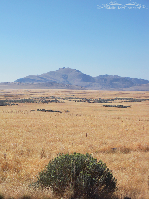
View of Frary Peak across the grassy plain
Title: View of Frary Peak across the grassy plain
Location: Antelope Island State Park, Davis County, Utah
Date: 8/23/2010


