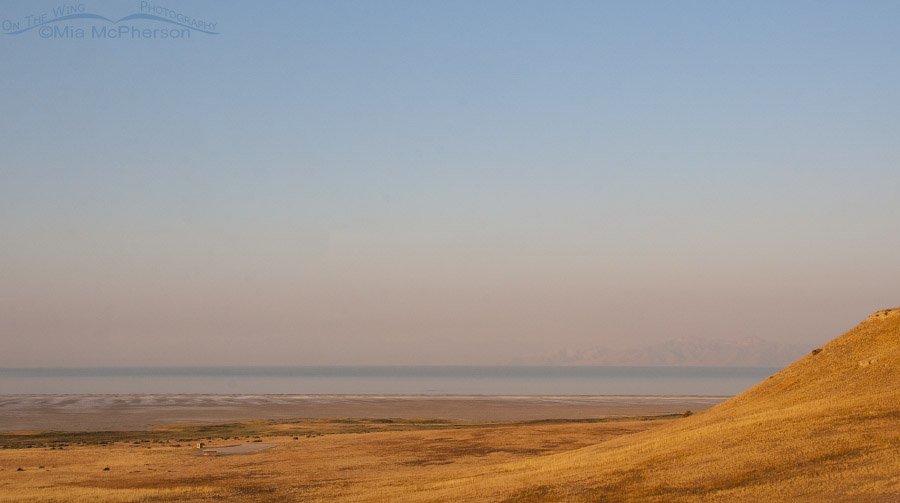
 Smoke in the air from Buffalo Point August 21, 2016
Smoke from wildfires in Utah and as far away as California has been a pain in the rear end for days and it doesn’t look like it is going away any time soon. The smoke-filled valley is ugly so yesterday I photographed Utah’s smoke filled skies from Antelope Island State Park.
The island seemed like an avian wasteland yesterday but that might be just as well because I don’t enjoy photographing birds in flight when the sky is smokey because the sky ends up with some funky color casts at times and when birds are on the water even the water can look oddly colored because of the smoke overhead.
I took this image from Buffalo Point early in the morning when the light was still golden and the smoke had a touch of a pink glow to it. If you look carefully you can make out one section of the mountains on the other side of the shore of the Great Salt Lake. A photo taken near this location on a clearer day can be seen here.
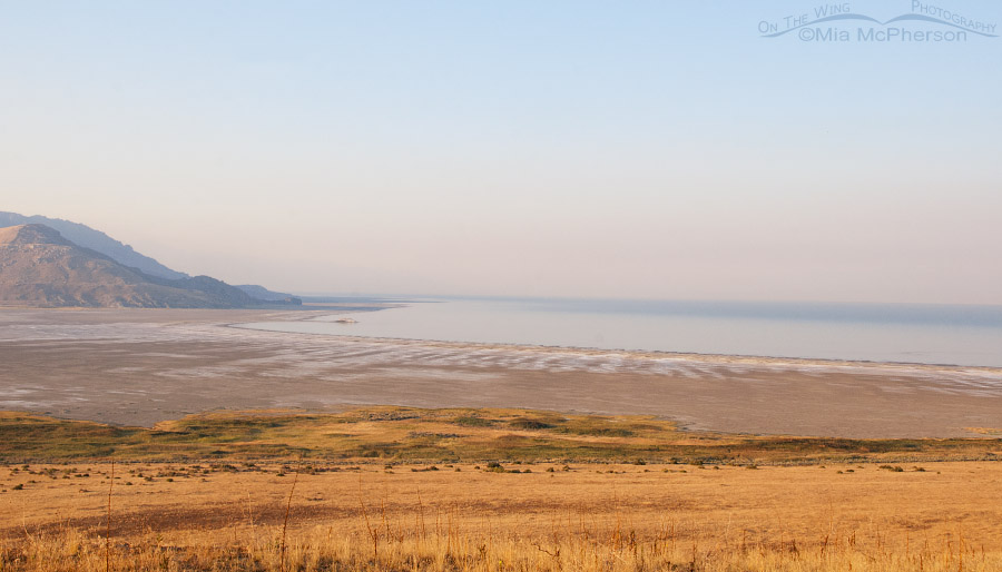 Smoke in the air from Buffalo Point looking towards White Rock Bay, August 21, 2016
In this image I can’t see any of the mountains on the other shore of the lake, just the ones one the west side of Antelope Island. It was nice to see a bit of blue sky above the smoke though it wasn’t so nice seeing the smoke below it.
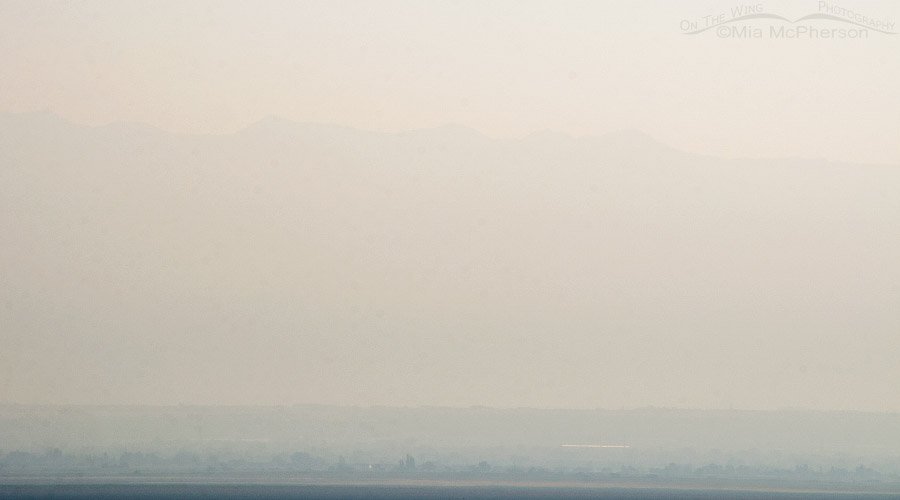 Smokey sky looking towards the Wasatch Range from Antelope Island, August 21, 2016
About halfway down the island I wanted to take a photo looking northeast because it seems like the Wasatch Mountains block the smoke from escaping the valley, or maybe they just trap it for a time and they sure did yesterday. If you squint about one quarter of the way down you can see the mountain tops. There are gorgeous mountains over there, somewhere.
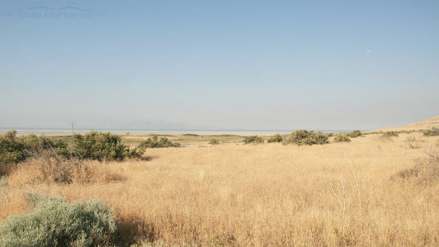 Smokey skies from White Rock Bay campground at 18mm, August 21, 2016
Later in the morning I was back at the White Rock Bay campground and took a series of images as I changed my zoom, this one was taken at 18mm and I can barely make out the mountains across the lake.
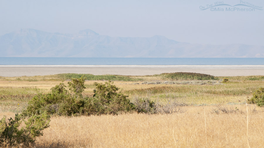 Smokey skies from White Rock Bay campground at 95mm, August 21, 2016
When I zoomed to 95mm the mountains were more visible but the smoke hid all of their features and even made the lake look funky because of the smokey haze.
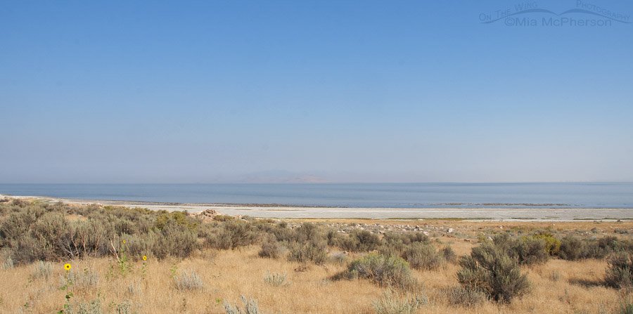 Smokey Skies near Ladyfinger Point at 18mm, August 21, 2016
And as I was leaving the island I stopped to take images just a little east of the Ladyfinger Point parking area looking north towards Fremont Island and Promontory Point, they can barely be seen through the smoke in this image taken at 18mm.
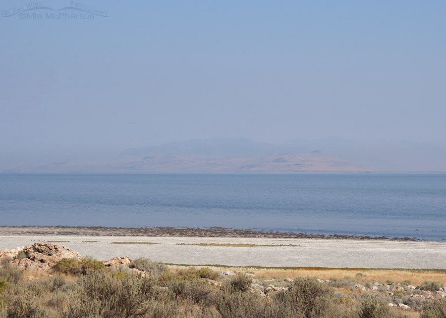 Smokey Skies near Ladyfinger Point at 65mm, August 21, 2016
So I zoomed into 65mm to show Fremont Island and behind it, Promontory Point. Not a very pretty picture.
The smoke is awful. It it almost gets depressing because the mountains that surround us here trap the smoke in the valley like a bowl keeps water inside it.
This is smoke and as harmful as it is to have it hanging in the air like this because of wildfires something that can be worse happens to us here in northern Utah during the winter inversions.
I’ve seen days that look just like this during the winter but instead of smoke being in the air it is pollution that gets trapped when cooler air over the valley keeps it hanging around for days just like this smoke.
The problem with that is the haze of the inversions are mostly chemicals, things that poison us and make it difficult to breathe. Toxic chemicals.
Our Governor could do more to prevent it but doesn’t. He would rather give industry a pass and allow toxic chemicals to float into our lives day after day. Signs on the highway say “Drive less for better air quality” but I don’t see signs in front of the industries telling them not to pollute.
Last winter I lost track of how many times we had the worst air in the nation. Not great for humans. Not great for wildlife. Not great for tourism. Not great for our economy because what tourist really wants to spend time in the smog-filled Salt Lake Valley when they can head up into the mountains to actually breathe clean air and take their tourist dollars with them?
Yes, this smoke is bad but those inversions can be worse.
I think I need to head to the mountains soon to get away from this nasty smoke.
Mia


I hear you. My city is in a basin, and an inversion is part of our lives. And worse in winter as a rule because of the things that people are burning. Sadly in the hotter months we often trap smoke from fires three states away…
Oh WOW, Mia – along with your commentary, what a demo of ALL of the issues. Thanks so much for this sad educational edition! I am debating whether to send these to my grandchildren but think they are still too innocent! WORST AIR IN THE NATION????? Who would believe that – but YOU, we all believe!! I actually found myself looking for ghosts other than ghosts of mountains in the more occluded photos!
The wave clouds are amazing – I’ve seen them once or twice. It’s amazing how parallel they are, wave to wave.
Be sure to catch some FRESH AIR now an again!! We ALL care about YOU!!!
Sad!!!
It’s up here as well, Mia.
I wake up several times during the night with my eyes burning and my throat as dry as the salt flats, unable to breathe. My lungs feel like I’m back to being a cigarette smoker. Yuck! I can’t imagine what it must be like down there.
Chocking in Hoytsville!
Beautiful photos, Mia. Air pollution is a problem everywhere. The mountains are our friends.