The weather forecasters were wrong again, I guess that shouldn’t surprise me at all. Bird photographers need light to photograph birds so quite often I depend on the weather forecasters to relay accurate information. Below is a screen shot of what the weather was supposed to look like yesterday:
Actually yesterday the temperature was supposed to break an all time high for April, I was hoping it would get hot enough to cook the biting gnats (no-see-ums) that have hatched on Antelope Island State Park that will bite you no matter HOW much insect repellent you use, ridding us of them for the rest of the year. I can dream, right? Right?
Once again the weather forecasters blew it. Their predictions were wrong. They missed the boat. If weather predictions were a dice game… they crapped out.
There were clouds before the sun rose over the crest of the Wasatch Mountain Range. The clouds were moving north on the radar and it was possible they would be gone before arriving at the entrance to Antelope Island State Park.
Insert raspberry here: _______ Pflllllt
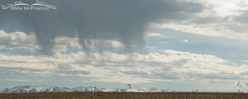
 Virga over the Great Salt Lake and the Wasatch Mountains – Nikon D200, f7.1, 1/1250, ISO 250, +0.3 EV, Nikkor 18-200mm VR at 56mm, natural light
As you can see from the photo above there was some sunshine but there were plenty of clouds. In what Universe is it “Sunny”?
Pardon the boring cliché but I’m known as a person who looks for the silver lining; you guessed it, in clouds. Some people have even nick named me Pollyanna, they know who they are.
I did take some bird images yesterday that I truly like but I also had to take images of the sky because of the cloud formations I saw; more specifically, Virga.
From Dictionary.com
vir-ga [vur-guh] noun ( used with a singular or plural verb ) Meteorology – streaks of water drops or ice particles falling out of a cloud and evaporating before reaching the ground
The dark gray cloud above is an example of virga where the streaks of rain can be seen but it doesn’t reach the ground.
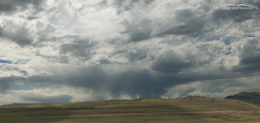
 Virga near White Rock Bay – Nikon D200, f7.1, 1/3000, ISO 250, -0.7 EV, Nikkor 18-200mm VR at 31mm, natural light
Looking south from near the Group Campground on the way to White Rock Bay I could see more virga just beyond the crest of the hill.
Virga is common in deserts and temperate climates, in North America it is commonly seen in the western United States and the Canadian Prairies.
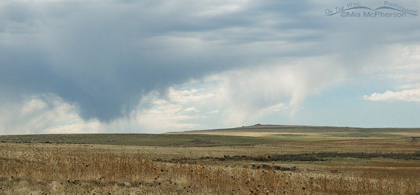
 More virga from near the Visitor Center – Nikon D200, f7.1, 1/1500, ISO 250, -0.3 EV, Nikkor 18-200mm VR at 60mm, natural light
The wide open skies over Antelope Island make it easy to see and photograph various cloud formations. In this frame I can see dark and light-colored virga.
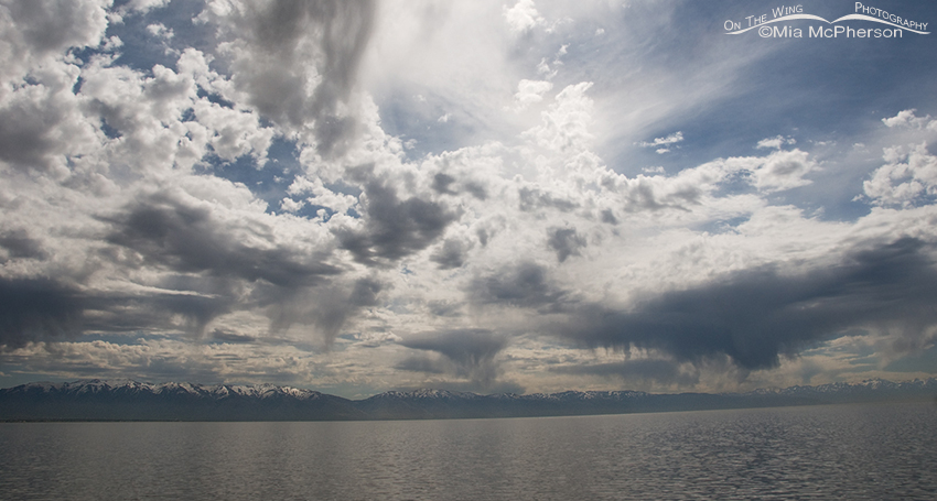
 From the causeway after leaving Antelope Island, more virga – Nikon D200, f7.1, 1/4000, ISO 250, -0.7 EV, Nikkor 18-200mm at 18mm, natural light
There was also this view with so many streaks of rain that evaporated before it touched the earth that I gave up counting them.
To the weather forecasters who might one day read this, does it look like it was a “Sunny” day??
Mia
PS: It only reached 84° F.


These are beautiful photos Mia, I love learning about the different types of clouds and hope to a virga cloud formation soon!
PrairieBirder, I hope you some some Virga clouds soon too, thanks so much for your comment.
I didn’t know what a virga was until you explained. Interesting. Isn’t meterology elusive? Well you still got some nice images of the cloud formations. As for 84 degrees, I’ll take it as it’s been chilly here. Carol
Carol, we have had very warm days and then cooler ones too, today has been on the cool side. Clouds fascinate me so I had to take these images of Virga. Thank you for your comment on these.
Beautiful shots, Mia I especially like the second one.
Thanks Bob, I had my head in the clouds 🙂